The route begins in the cozy village of Igueste de San Andrés. We left the car on one of the streets. The village is located in a ravine with its own microclimate. There are many mango gardens around. From here is the starting point — coordinates.

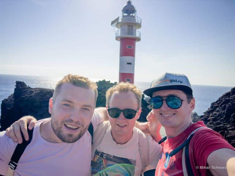
First, we follow the signs to El Semáforo de Igueste — it’s an abandoned lighthouse. It’s not necessary to go there. We turn according to the signs to Chamorga. At first, it’s a very good uphill warmup. I really warmed up. Don’t forget to take at least 1.5 liters of water per person. From the top of the hill, there is a view of the village.

There are 4 cruise ships in the ocean.

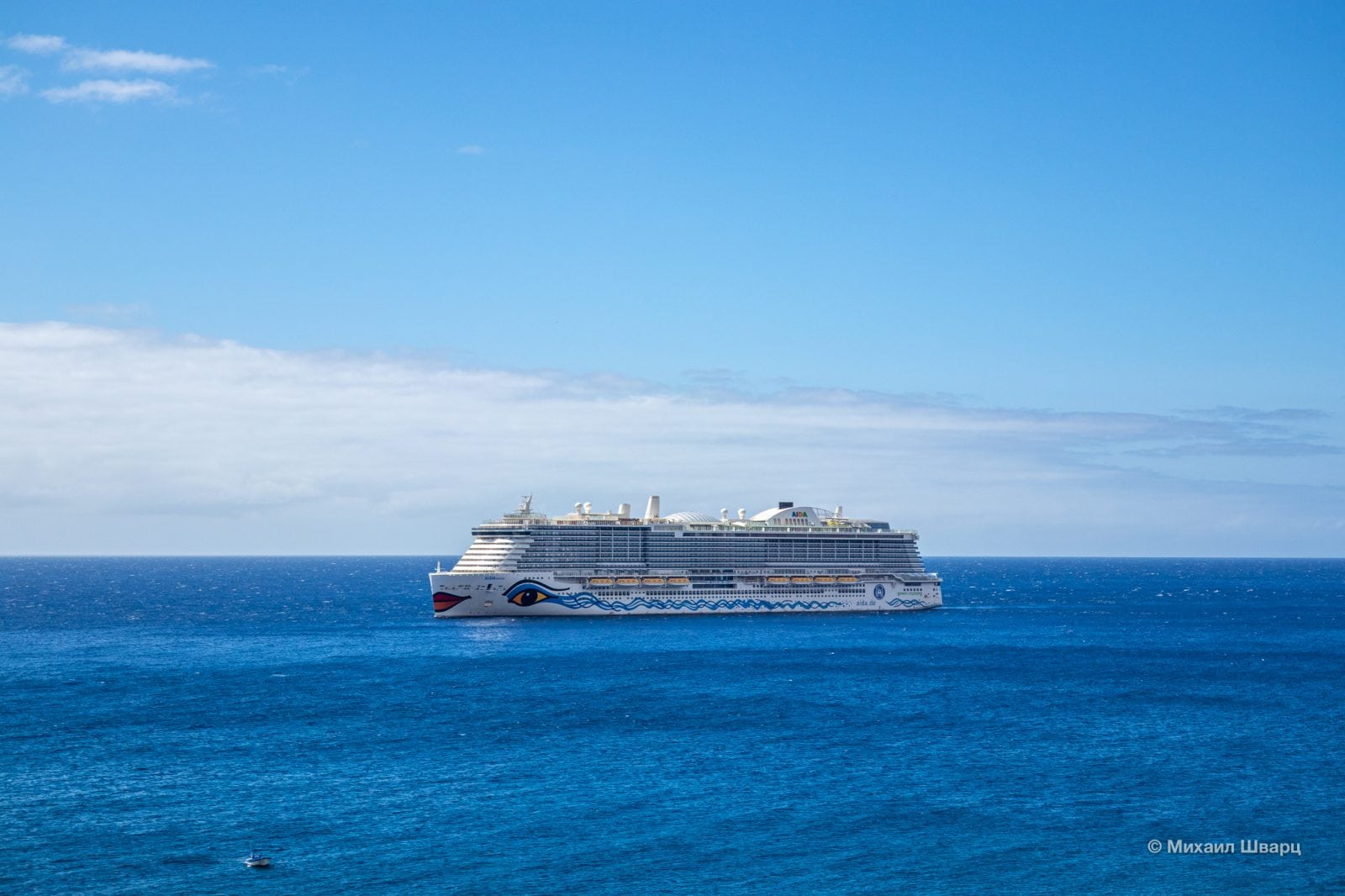


In the distance, you can see the capital of the island — Santa Cruz.

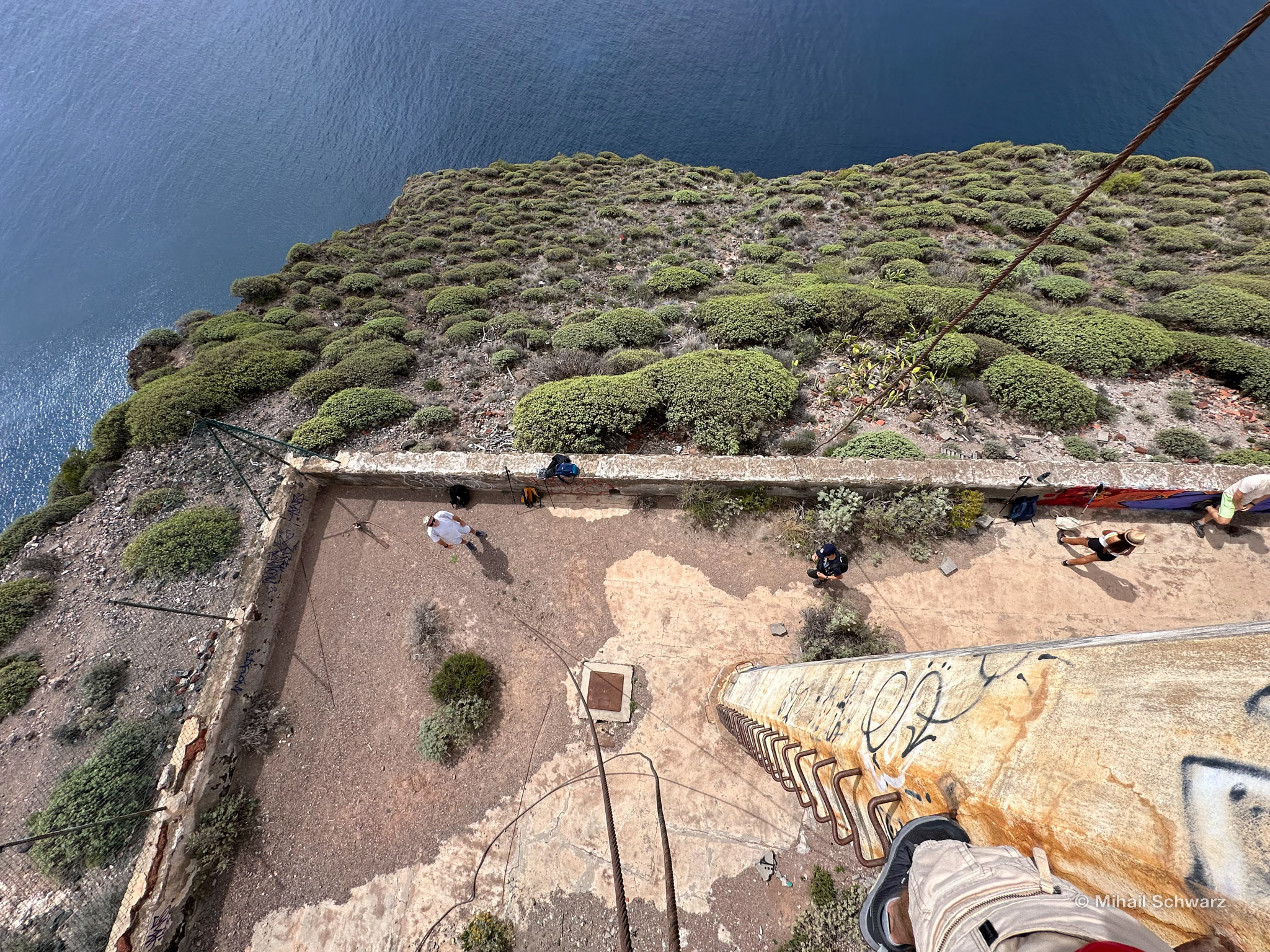
Stop by the semaphore along the way.
The Anaga Semaphore (or Igueste Semaphore) is a former semaphore communication station located near Igueste in the north of the island of Tenerife. It was opened in 1895 and operated until 1970, after which it was abandoned.
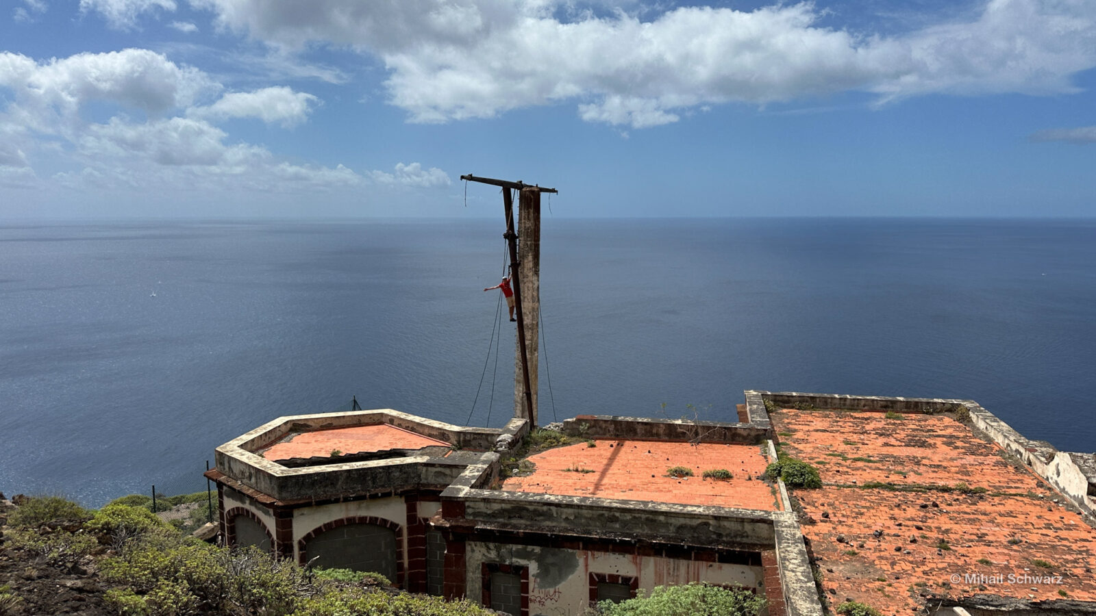
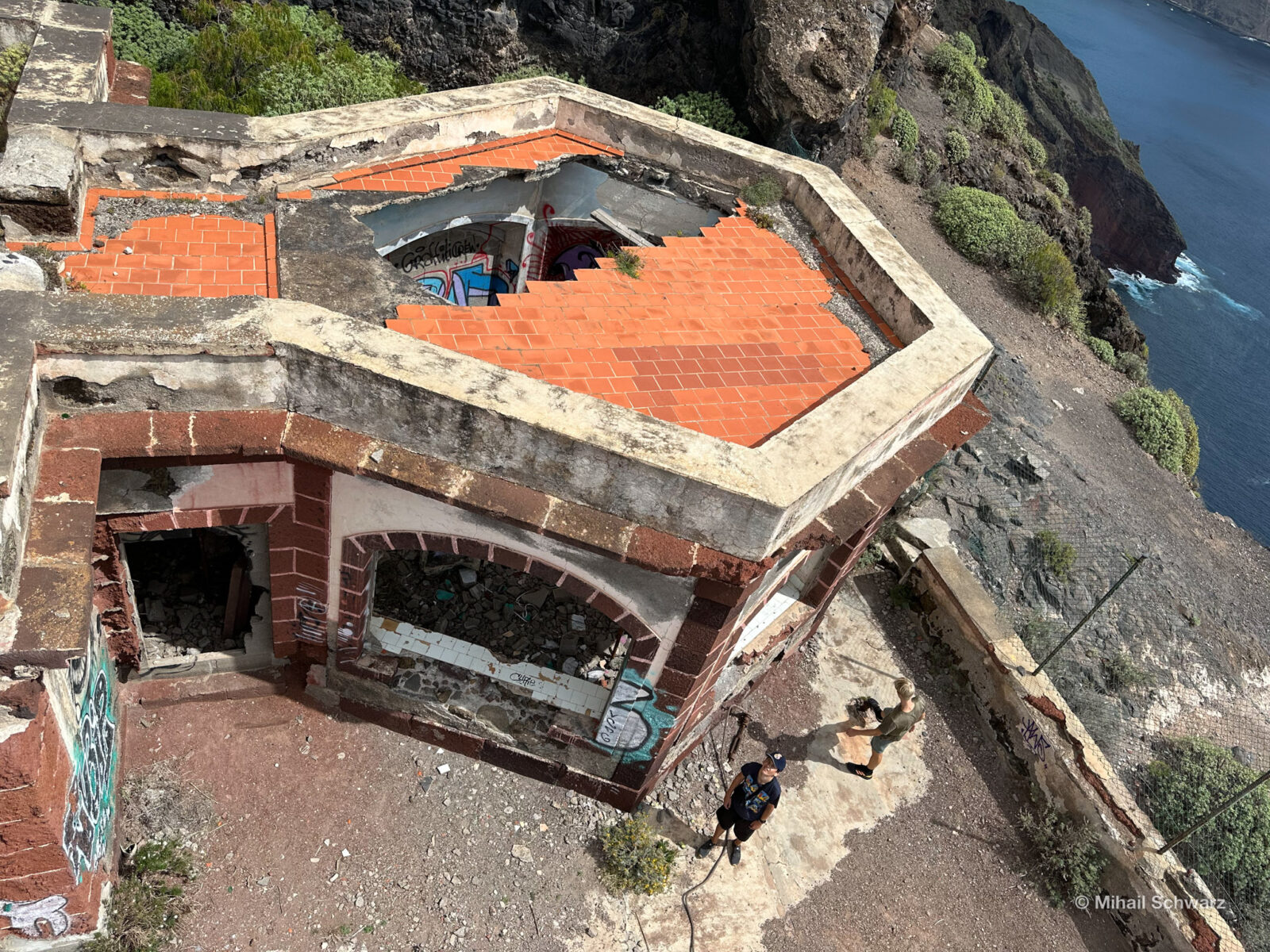


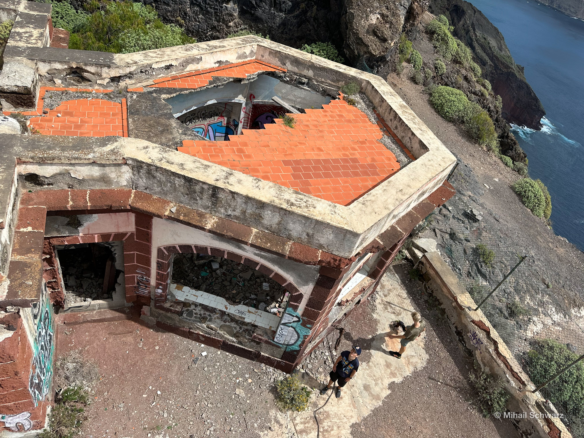
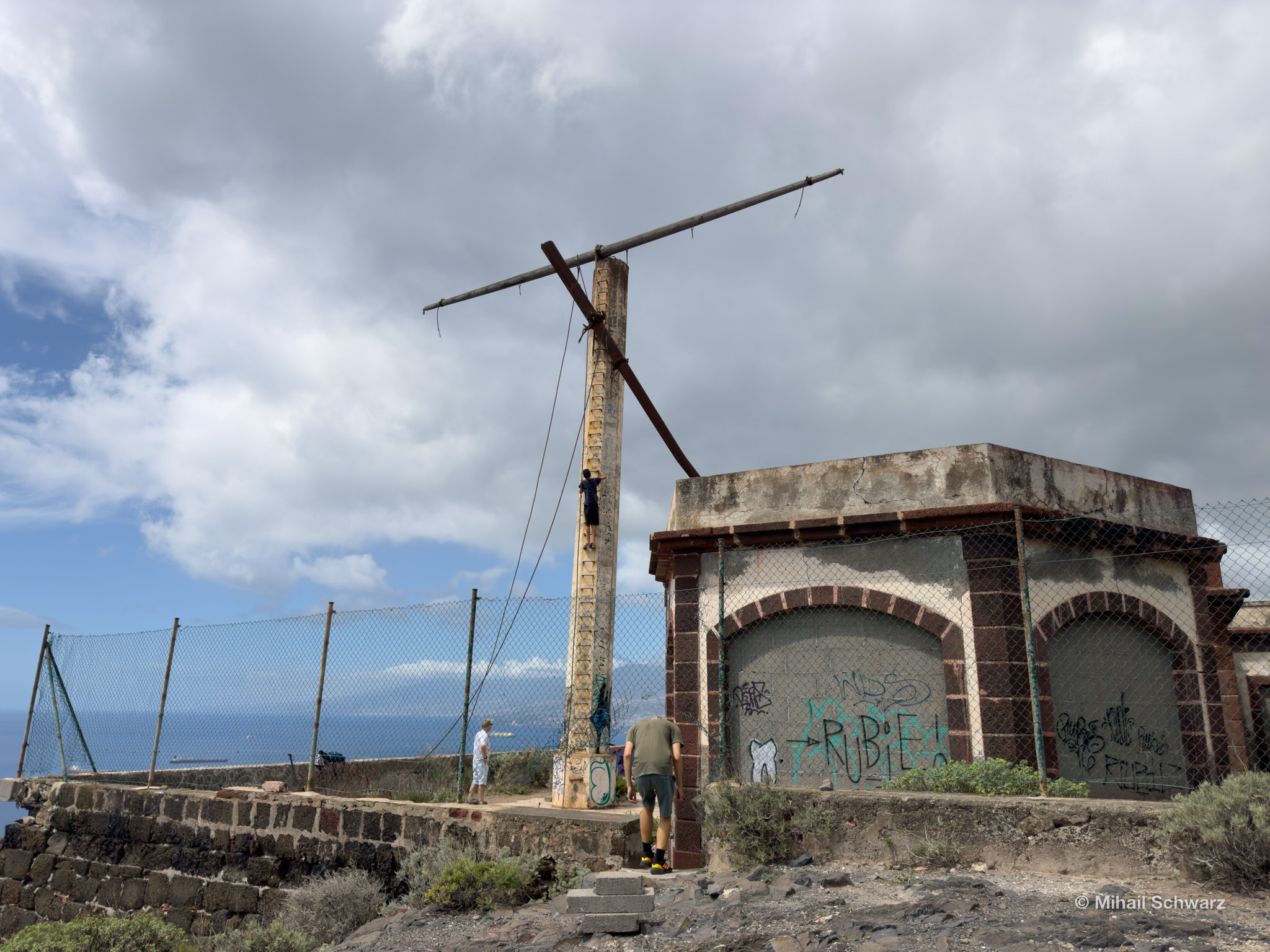
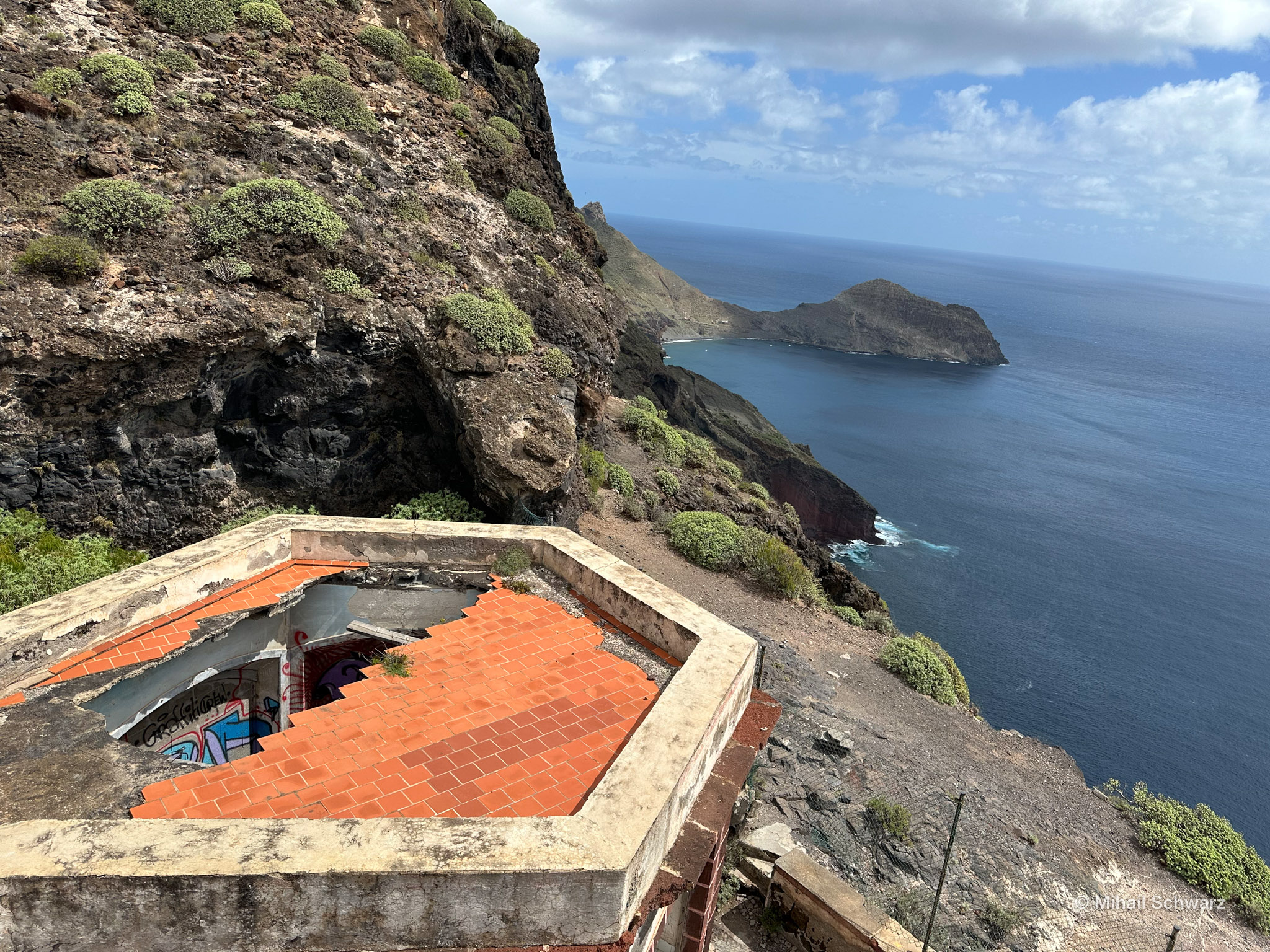
Its strategic location on Cape Anaga allowed for observation of the arrival of ships at the port of Santa Cruz de Tenerife. Since 1506, the sea has been monitored here using smoke and fire signals.
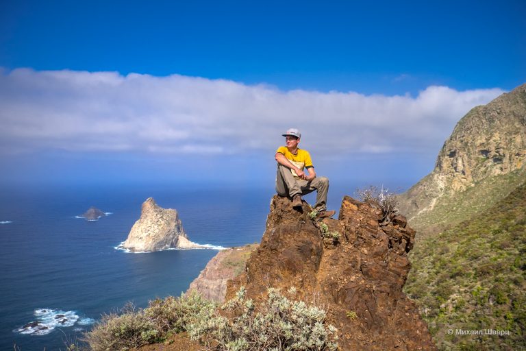
If you look to the north, here begins the Anaga Park. Below, you can see the Playa de Antequera beach, where we will descend now.

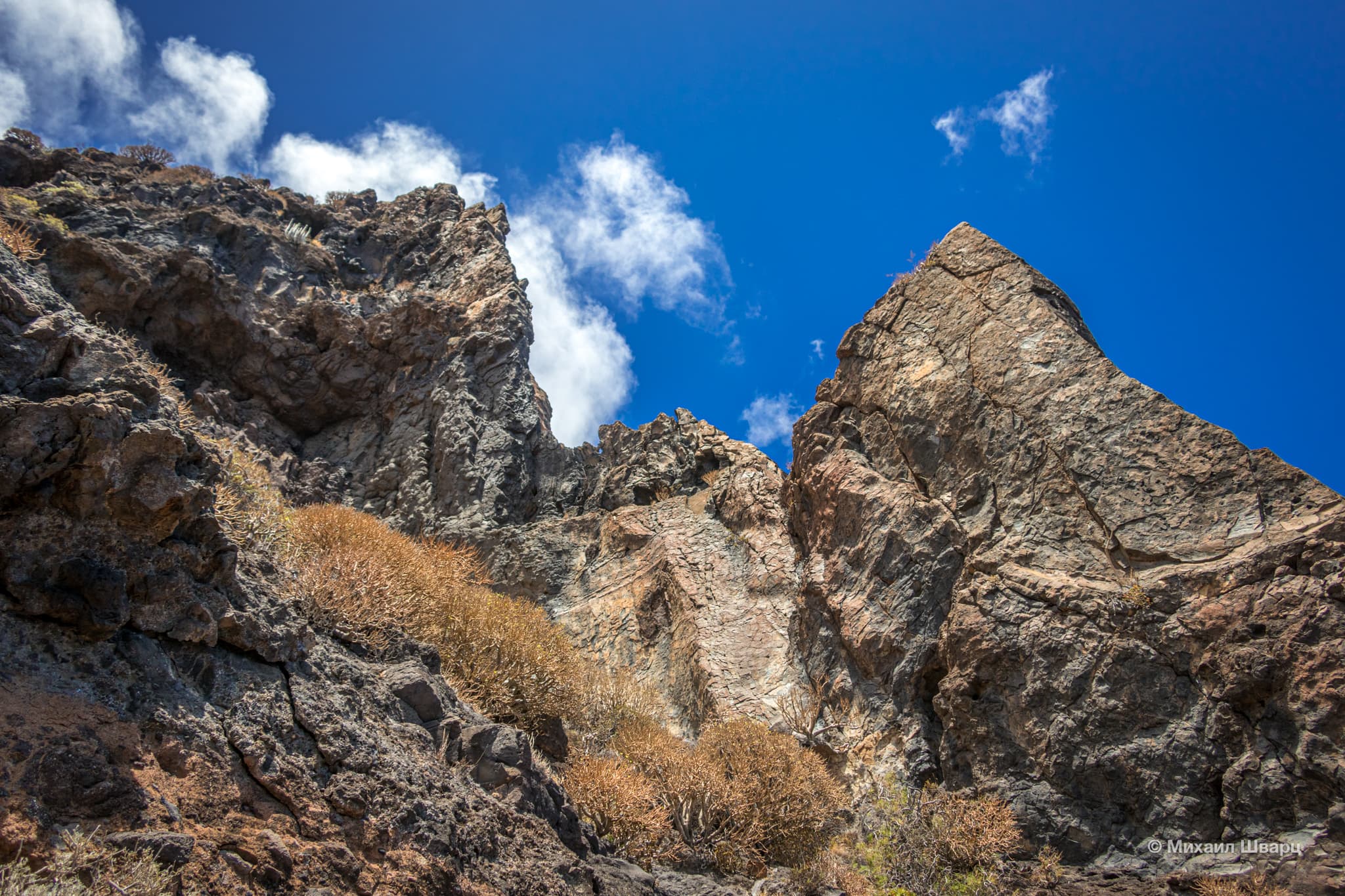
The nature is not very diverse. The trail is boring.

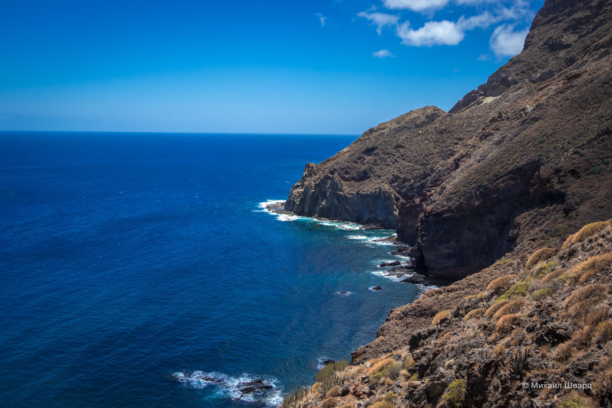
The road to the beach on the last section leads along a dangerous narrow trail along steep cliffs. Be careful.

The Playa de Antequera beach is quite interesting. It’s huge. There are almost no people. Bring your swimsuits to take a dip, cool off, and then continue on your way.
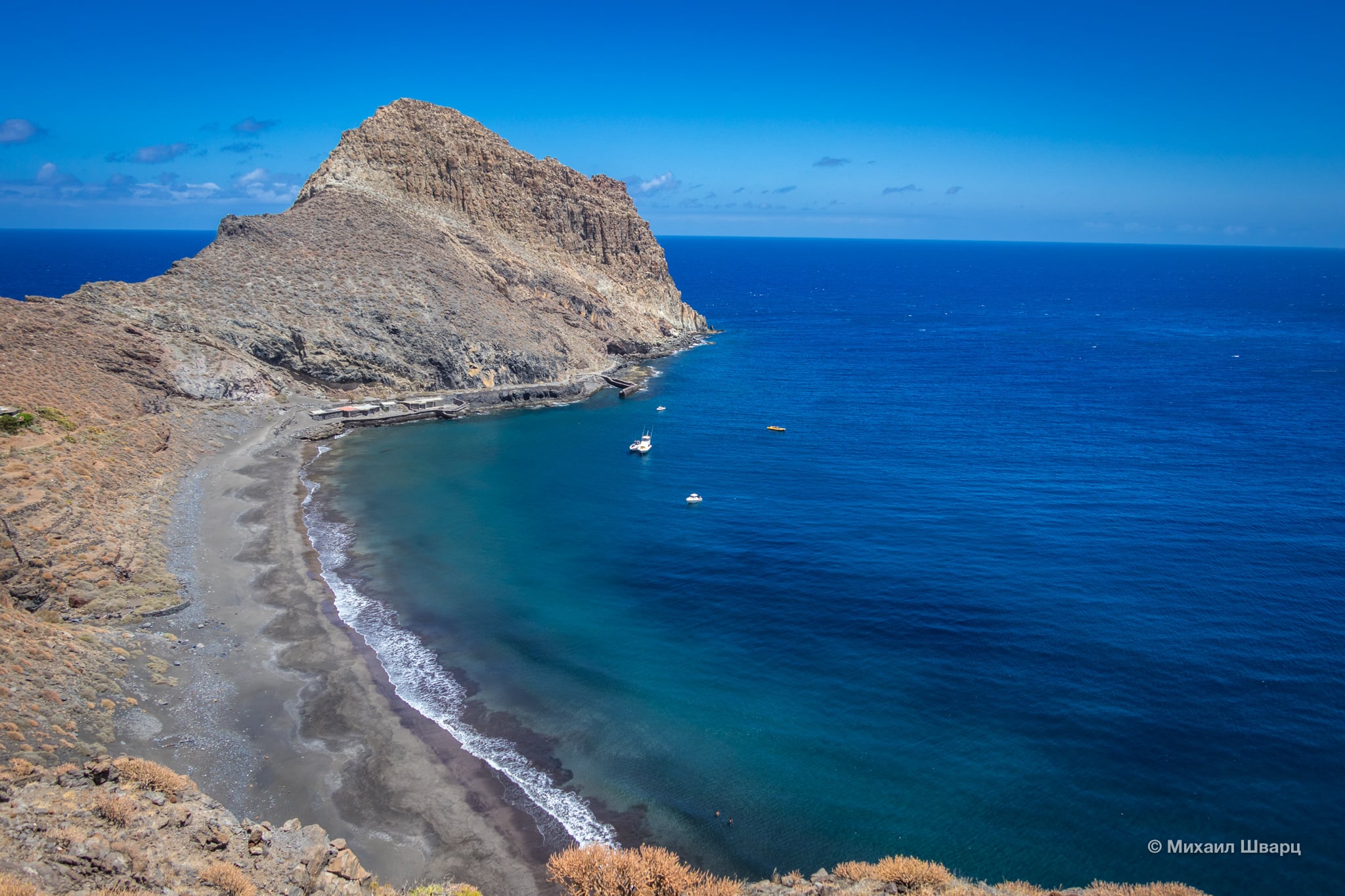
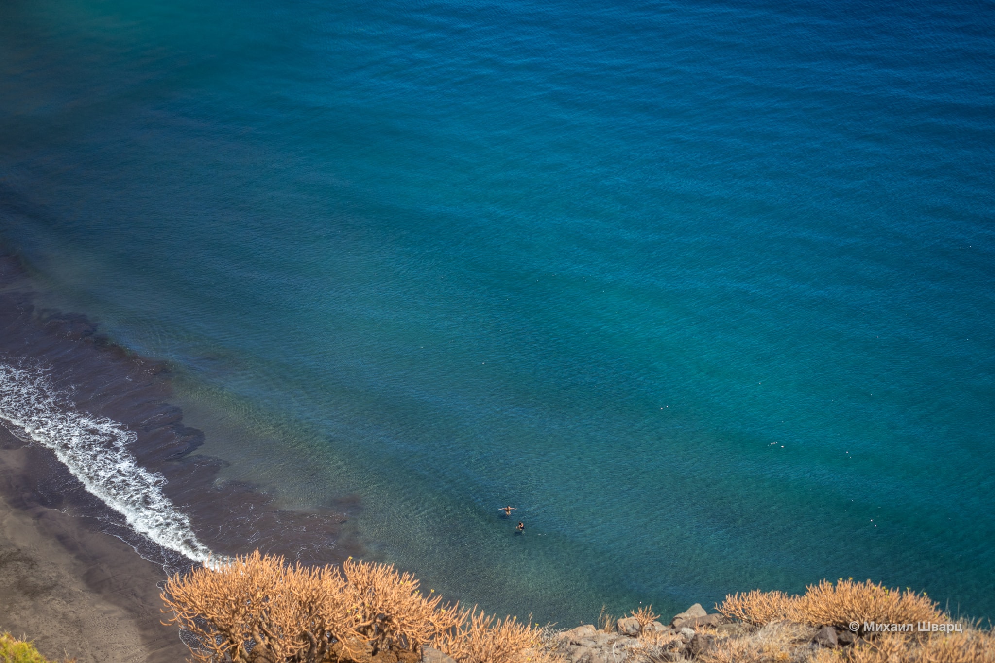

For the lazy, you can get here by water taxi. Here’s its phone number.

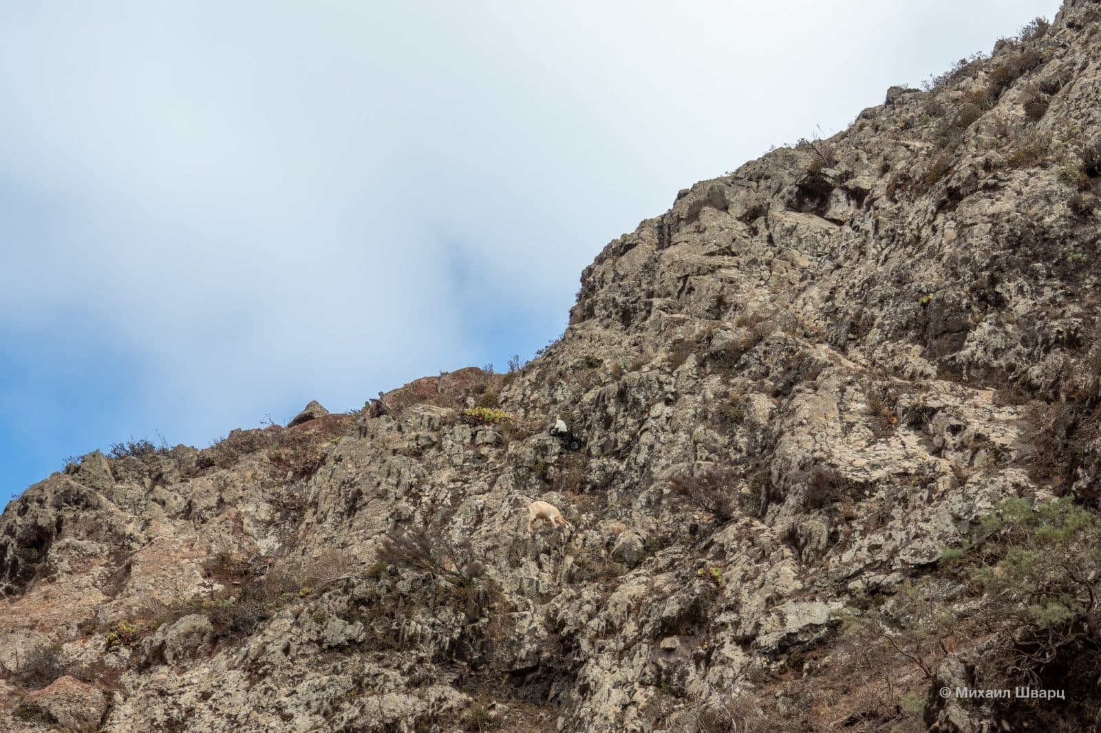
We climb up again, but through a neighboring ravine. Along the way, we encounter mountain goats. How do they manage to climb the rocks so nimbly?


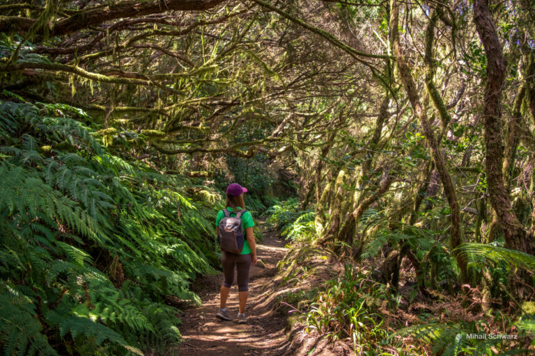
>We climb into the Anaga mountains. You can feel the cold, humid breath of the park. That’s how the clouds smell that form on the peaks.

We won’t go all the way to the village of Chamorga, but will turn back towards the village of Igueste de San Andrés.
We’ll pass through the gardens. In August, ripe mangoes were lying everywhere. We picked some up. Very tasty and ripe!

The route is almost 13 km long. The two ascents totaled 726 meters. Not an easy, but interesting route with an exclusive beach along the way.
- Маршрут до пляжа Antequera в Анаге
- Playa de Antequera
- GPS: 28,5355109 -16,1318767